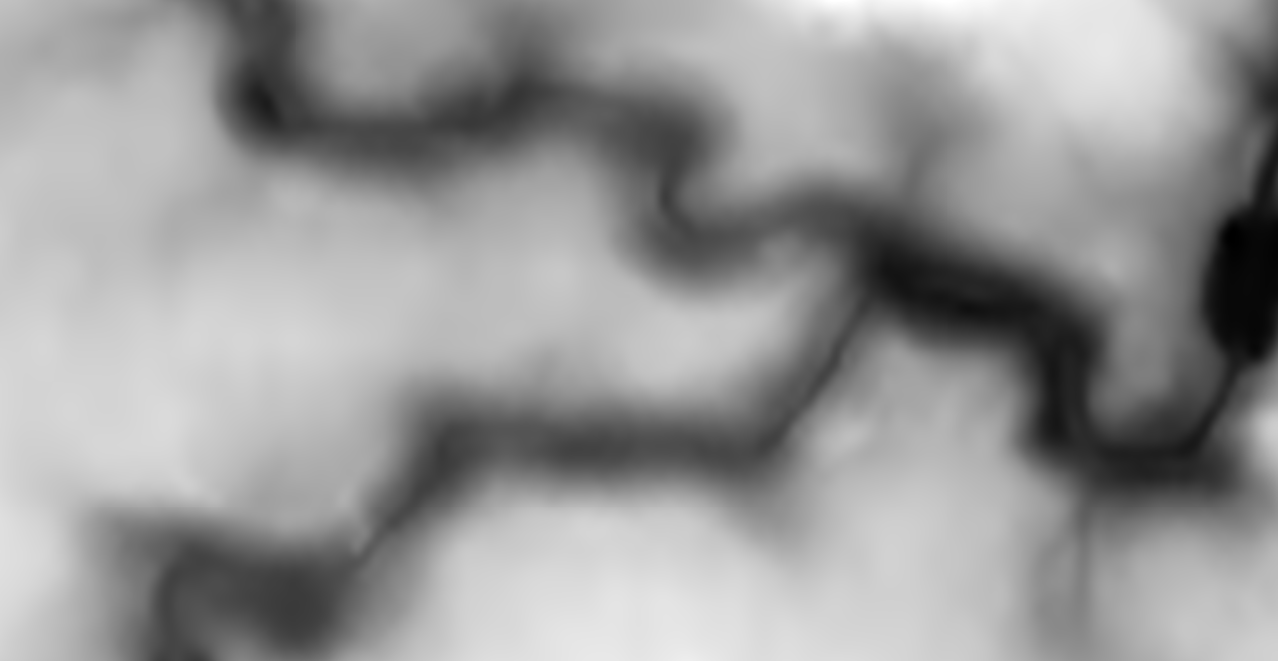
Landscape Creation#
terrain.party gives a square height map of 60x60 to 8x8 km2
tangrams gives a heightmap that fills your screen

Note
terrain.party often timeout
Tangrams#
Download a height map that fills your browser screen, save the heightmap range
range=(lowest - heighest)If your heightmap is big, split it into multiple quadrants, the names must follow the convention
<name>_x0_y0with0 x 0is the center of your image.Exports your heightmap as 16bit gray scale (PNG or RAW)
Create a new level
Enable landscape mode
Import from file
Compute the z-Scale
# increase the range if you want to account for sea level
range (cm) = range (m) * 100
z_scale = range (cm) * 0.001953125        # (0.001953125=1/512)
Note
To get a square heightmap you may use your browser developer tools to mock the desired screen size
Note
One pixel of your height map is equal to 1 meter in Unreal Engine
Note
The URL contains the lat/long of the pixel at the center.
Using your browser developer tools you can query the size in meters scene.view.size.meters
scene.view.size.meters
Object { x: 5243.083422156026, y: 5243.083422156026 }
References#
UE4 Technical guide to Landscapes
